Hailing from Georgetown, Kentucky, Zach Heath is the Unmanned Aerial Systems (UAS) engineer for the Kentucky Department of Aviation. A graduate of the University of Kentucky, Zach is also a licensed land surveyor in addition to his role with the department. We’re excited to have had the opportunity to learn more about his role and responsibilities in helping keep our air transportation network safe!
Tell us a little about your aviation background and how you developed an interest in aviation.
I was a KYTC Engineering Scholarship student and received my master’s degree in Civil Engineering at the University of Kentucky with a focus on transportation. I had an airport design class and found it intriguing. After that, I had the opportunity to intern with the Kentucky Department of Aviation and discovered airports around the state and the aviation field.
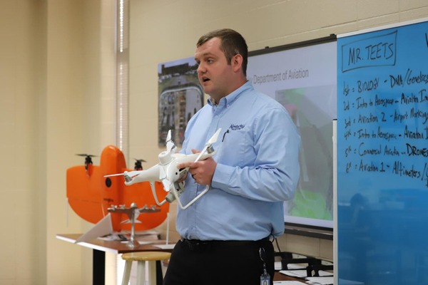
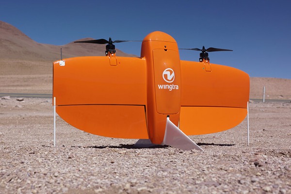
While interning with KDA, I discovered how drones are becoming more relevant with modern technologies and found them to be fun to fly. I was especially interested in how the data was being processed to create 3D models.
One of the first people I met during my internship was Joe Carter. He allowed me to go with him to different projects and meetings, and I was fascinated by his professionalism and knowledge. Having worked in the engineering field for several years and having a vast knowledge of Kentucky’s airports, how the FAA and airports operate, etc., Joe’s skill set and positive attitude are what inspired me to pursue a career in aviation.
Thinking about your day job, what requirements were there in taking on the role of a drone operator with the Department of Aviation?
I have a Remote Pilot Certificate from the FAA and an Engineering in Training Certificate from NCESS.
What does a typical day at work look like for you?
On a typical day, I start by answering questions related to drone operations from the public. For my own drone operations, I’m planning drone flights for data collection as needed and will see that project through to completion. Sometimes flight planning with drones will take some time, especially if airspace authorizations are required. Once I’ve completed a flight, I process the data to make 3D models of whatever the project may be.
That seems like a lot of responsibility for sure - but what about the rewards?
The most rewarding part of my work in aviation is the opportunity to see the beautiful airports throughout the state and to be able to use drone data to improve the overall safety of aviation in the Commonwealth.
What seems to be the biggest challenge for you in your career as an airport manager?
I am constantly working to ensure that flight operations do not interfere with manned operations. That, obtaining airspace authorizations, and makind sure all is done on a day with good weather makes my work challenging.
Is there a particular quality or character trait that you feel serves someone well with your occupation?
There’s a fairly large learning curve in understanding how to process and geo-reference drone images/data to create 3D models.
Are there any memorable moments that stand out for you across your career or flying in general?
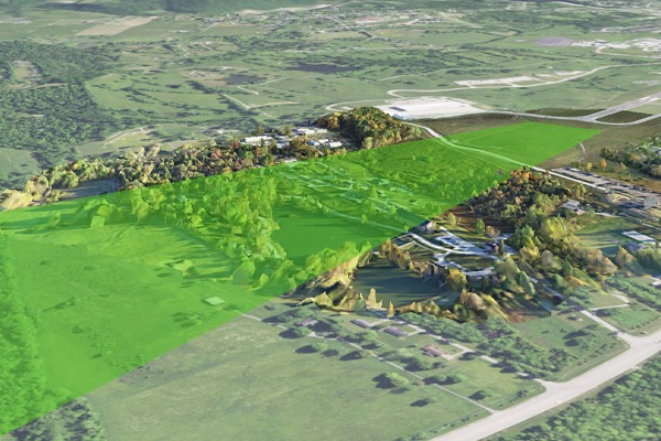
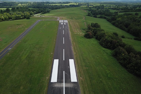
At the moment, I am currently working with Bowman Field to create a 3D model of their approaches on all their runways. Like many of the other airports I have flown, I’m able to help them determine any risks that may present themselves for aircraft utilizing their facilities.
One memorable moment is when we published a 3D interactive map of drone models of Kentucky airports to the public available on the KDA website.
How do you feel about the current state of the aviation industry as a drone operator?
As far as drones go, within the next 5-10 years there will be a major increase in beyond-visual-line-of-sight operations. Drone operators will have to learn to trust the drone to fly itself for data collection and operators will become more of a data processor than a drone operator.
Drones have revolutionized data collection and have increased safety for workers on top of reducing the time required to complete projects. More people shoud learn what drones do and what they are used for, like inspections on bridges, assessing roof damage, etc. At the same time, drone operators should keep current on regulations and ensure they are complying.
If you could talk to the younger version of yourself, is there anything you would say or encourage him to do differently?
I think it’s important to realize that everything happens for a reason and for a purpose.
Sounds great! Last question - what is your favorite aircraft?
I personally like the Piper Navajo as it is a comfortable aircraft – I’ve spent plenty of time in the one flown by the department!
Zach’s contribution to the aviation industry has come by way of advancing the Unmanned Aerial System (UAS) field in data collection methods. And yet, this is just one of many endless possibilities and applications for drone operations! Be sure to check back frequently to discover the many other ways drones are being used to change and shape everyday life!