Skybound Strategy – Chart Your Course (Basic/Intermediate)
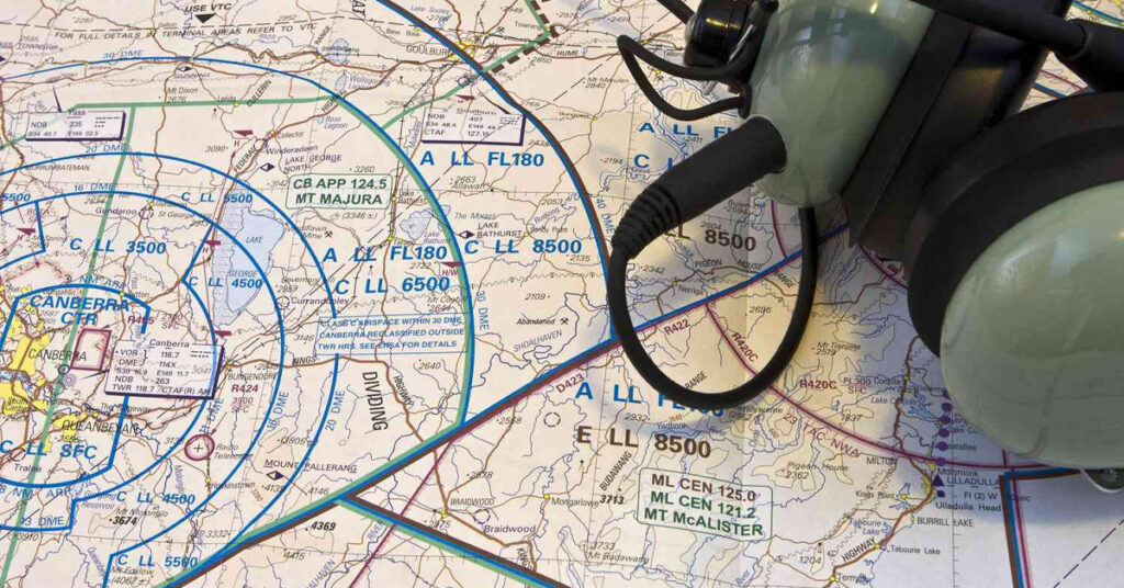
In this hands-on aviation geography lesson, students will explore aviation sectional charts to learn how pilots plan cross-country flights. They will use the sectional legend to identify symbols, measure distances between airports, and select visual checkpoints (like rivers, roads, or towers). Students will then “fly” their planned route virtually using Google Earth’s flight simulator. Learning […]
Skybound Strategy – Chart Your Course (Basic/Intermediate) Read More »